
3D
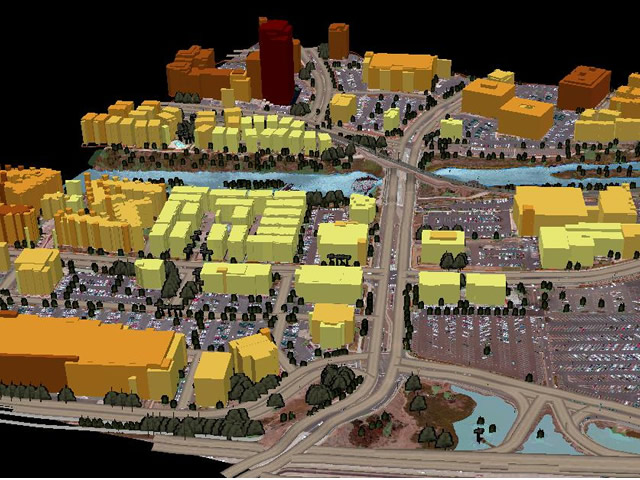
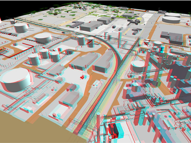
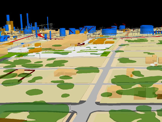
3D Video - Galveston, Texas, USA.
Read More

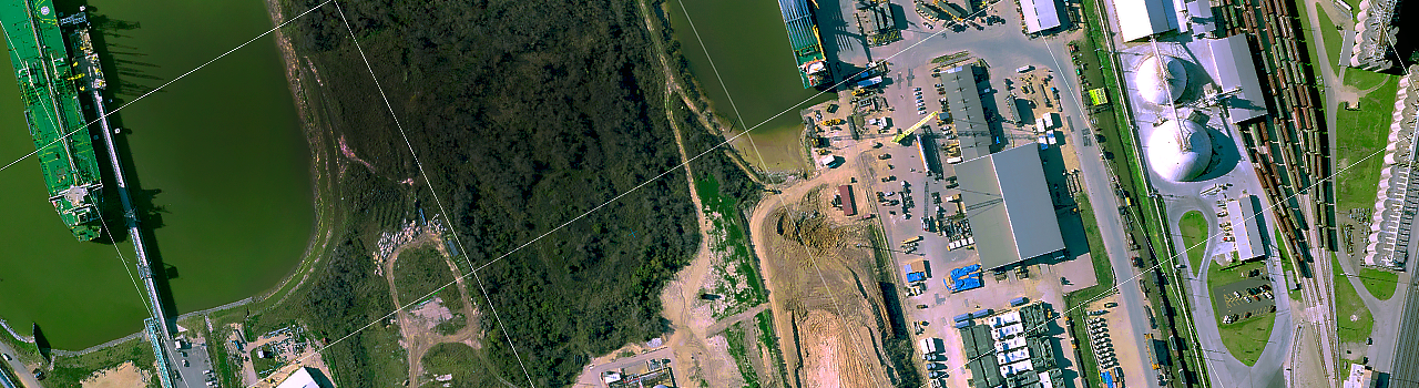
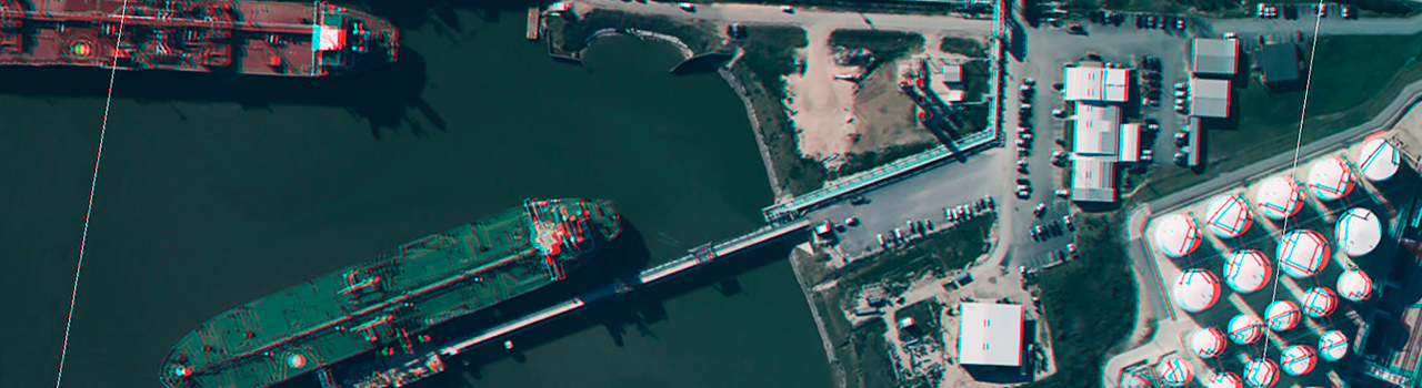
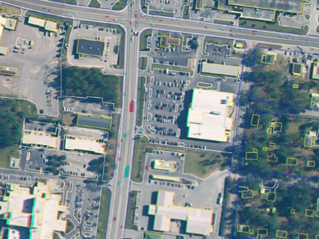
America Project is an initiative to cover the America continent with aerial photography, at 10 cm. resolutions, vector maps at scales of 1:1000, 1:2000, 1:5000, 1:10000 with a cartographic structure, including vector maps, digital orthophotos and digital terrain models with accuracy in compliance with international standards the entire territory of the Continent that is named Americas, including North America, Central America and South America.

America Project - Canada
America Project - USA
America Project - México
...Others North America countries.

America Project - Guatemala
...Others Central America countries.

America Project - Argentina
America Project - Colombia
America Project - Perú
America Project - Brasil
...Others South America countries.
Every project will be in compliance with all the specifics laws of each country.
The vision is to have the better basemap ever produced to support the following objectives:
Climate Change Research and Coastal Research
Social Development and Fight of Poverty
Smart Cities
Health Research and Implementation Programs
Water Managenment
Food Production
The objetive is to support the social and economic development of the continent with emphasis on the establishment of comprehensive information systems about the natural resources of the territory and the dynamic processes generated by society, including demographics, employment and sustainability with an emphasis on monitoring climate change.
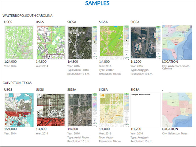
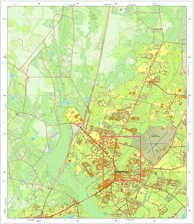
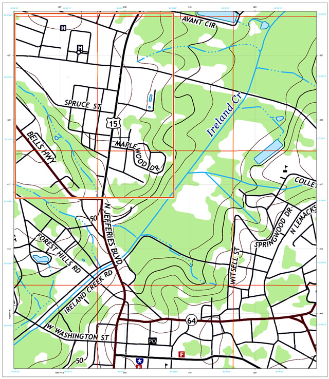
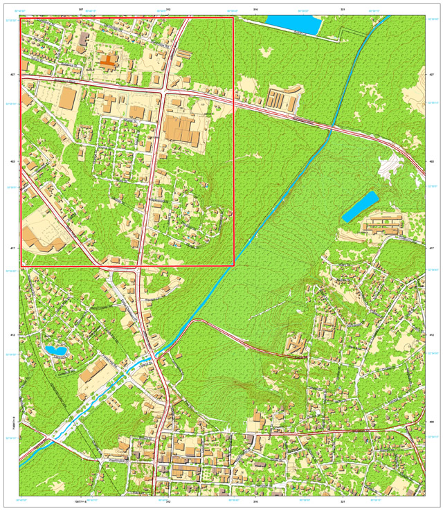
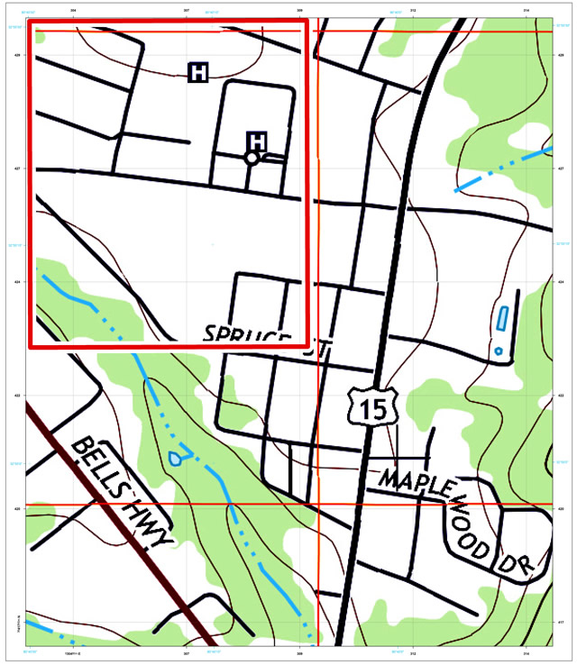
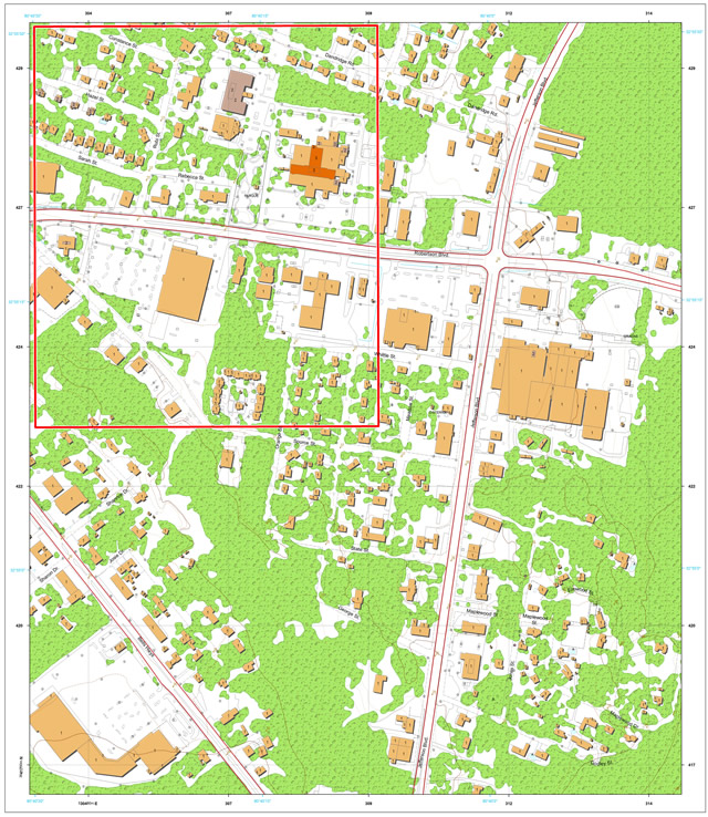
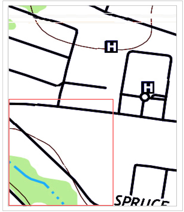
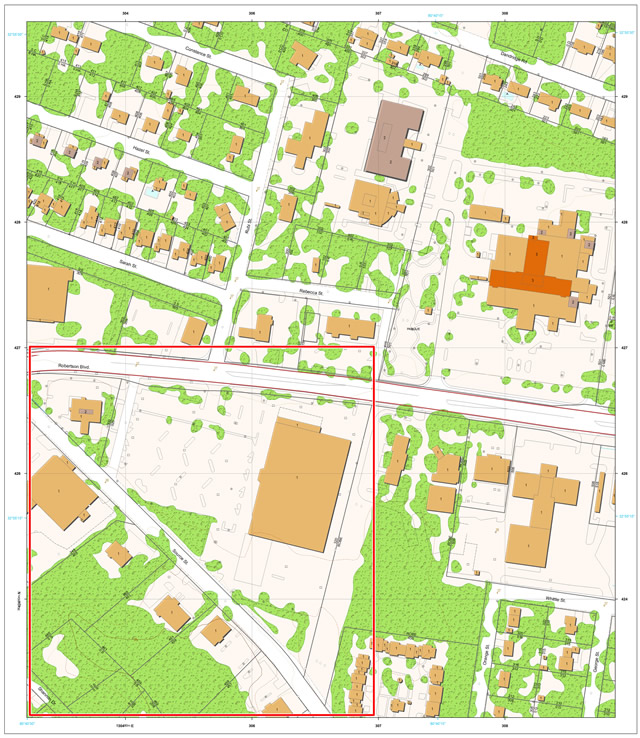
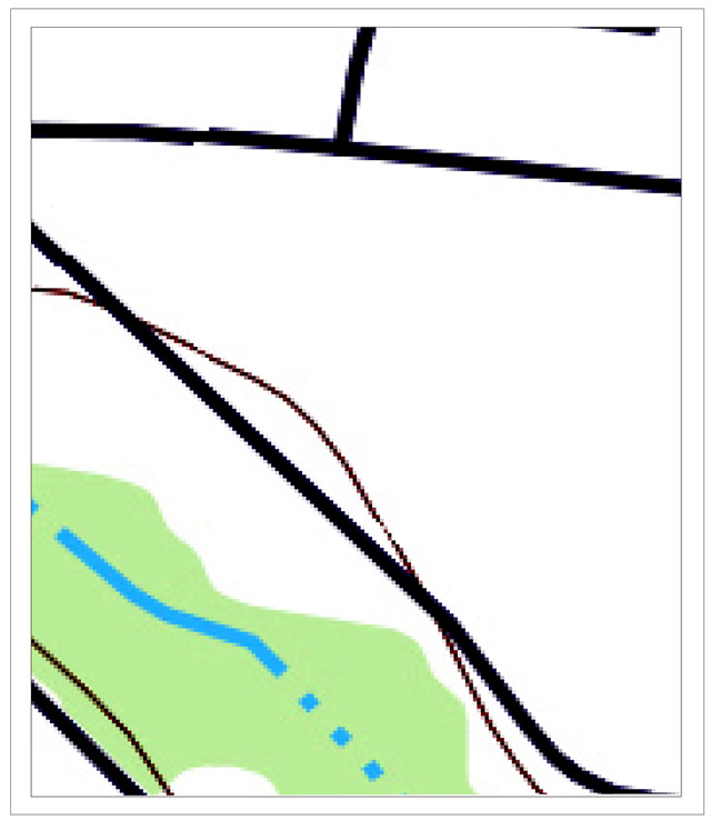
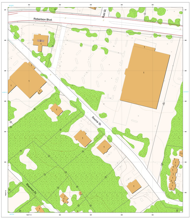
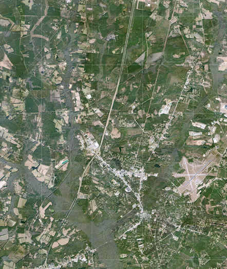
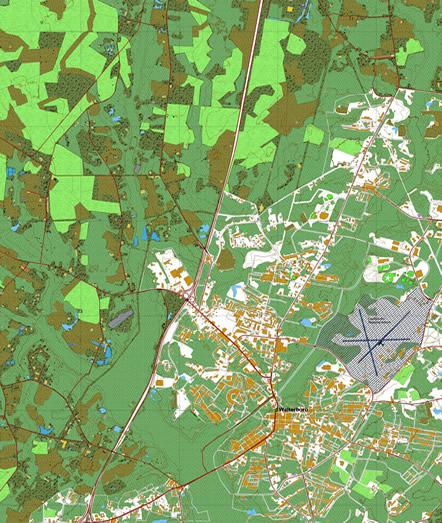
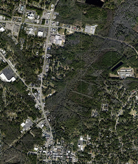
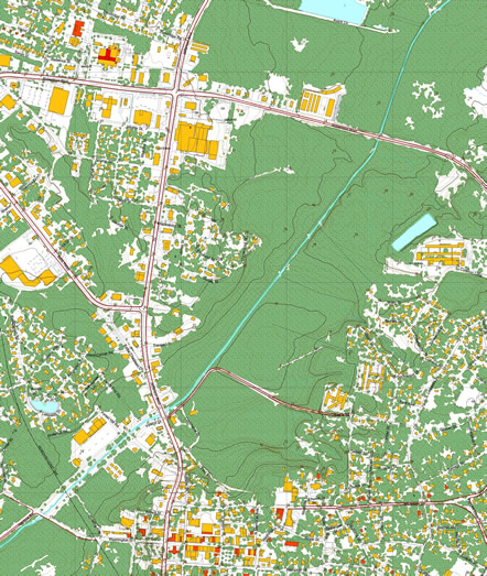
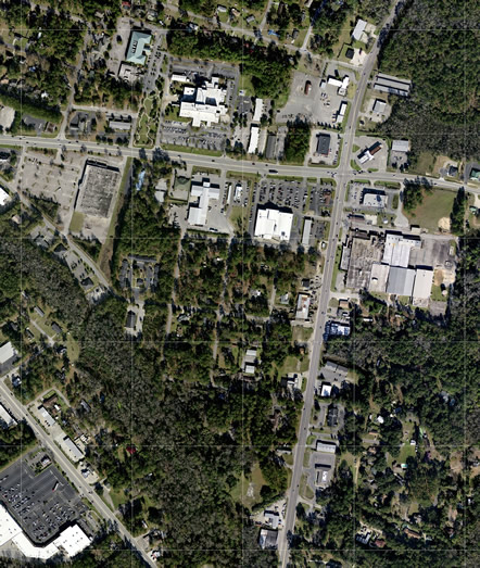
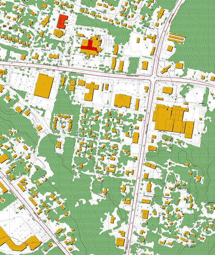
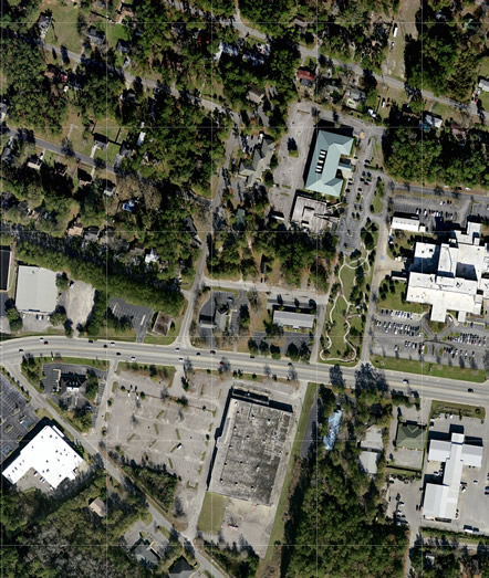
Comparative of Scales.
In 2016, AMERICA PROJECT decided to apply its expertise in the USA market and designed a comprehensive cartographic structure (America Project) for the Conterminous States of USA covering 8,000,000 km2 .
AMERICA PROJECT produced all the maps of Mexico within the framework of Project Mexico a comprehensive cartographic structure.
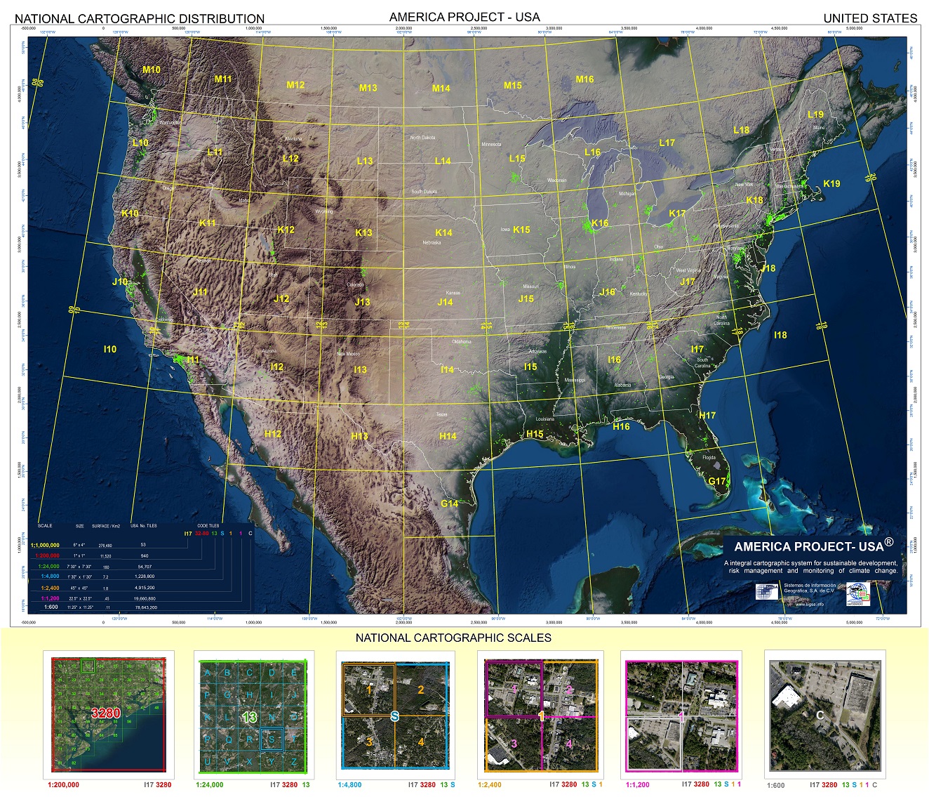
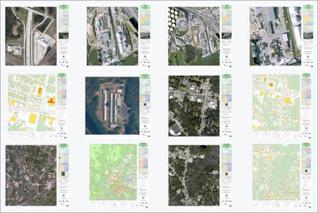
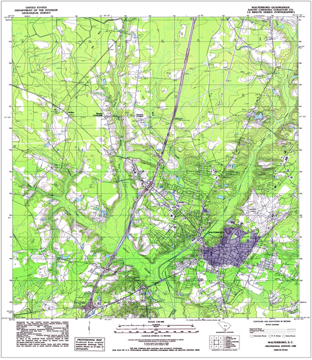
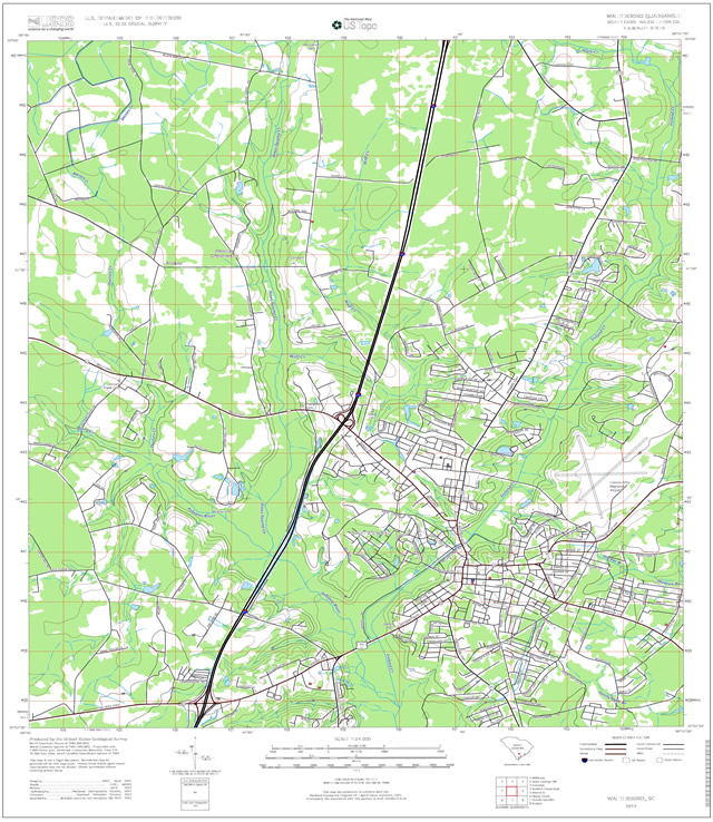
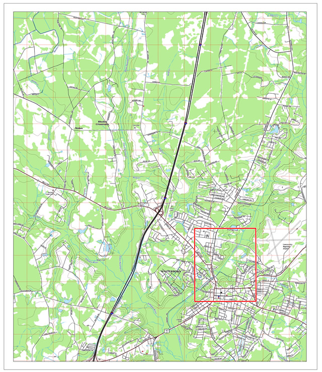
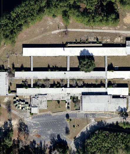
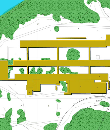
Examples of Maps